The FDOT District Six TSM&O Office manages and deploys Connected Vehicle (CV) strategies on select corridors to promote safer, more efficient travel and prepare the regional network to meet future demand.
CV strategies enable communication across multiple transportation modes, including passenger vehicles, freight trucks, transit vehicles, and emergency responders, through in-vehicle devices that exchange critical safety and mobility information.
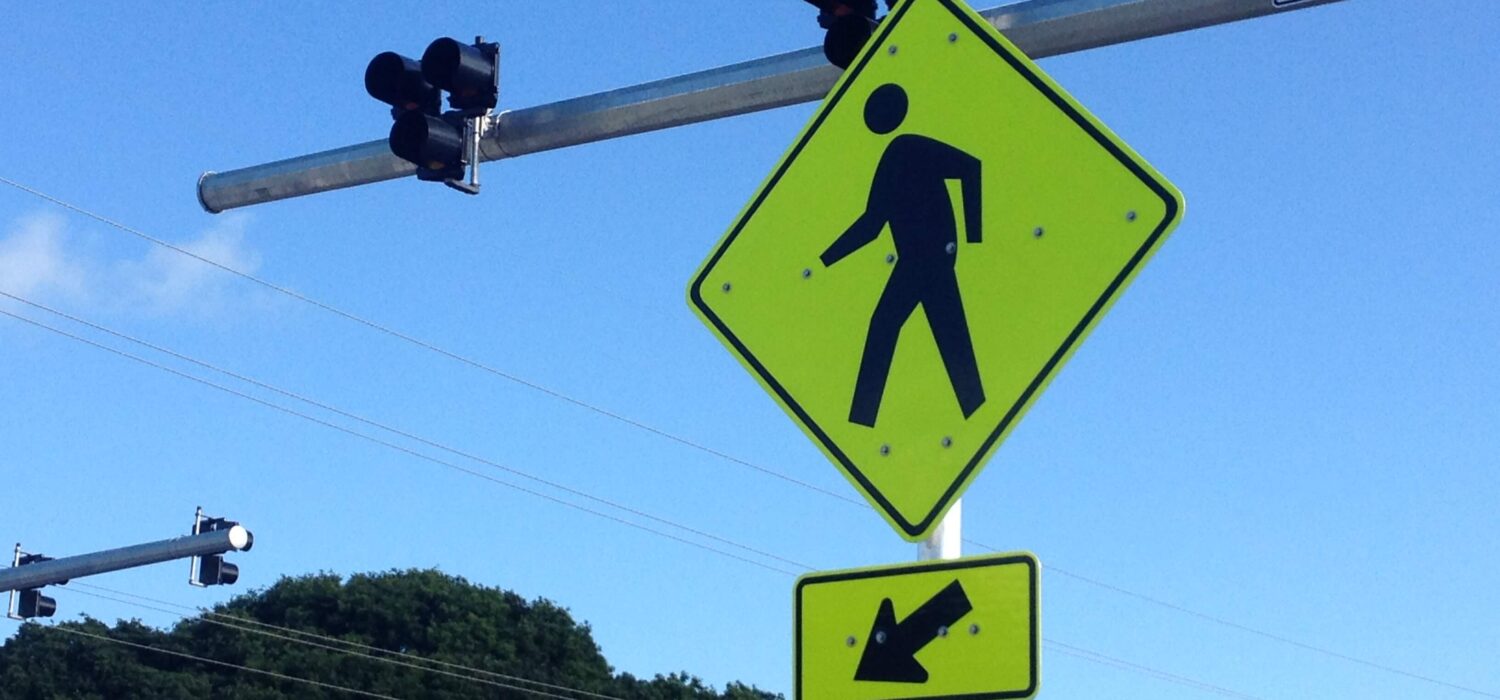
These strategies also leverage wireless communications to connect vehicles with traffic signals, pedestrian crossings, and other roadway infrastructure. This continuous exchange of data between vehicles and infrastructure helps identify potential safety risks, reduce congestion, and support safer, more efficient travel.
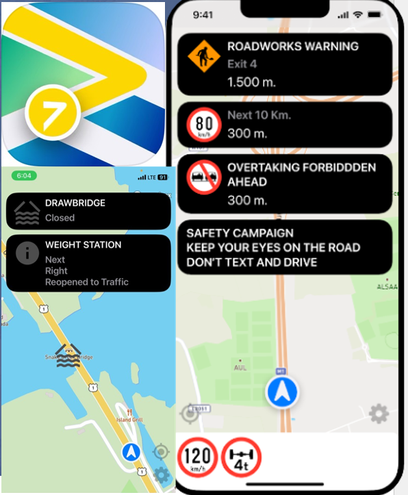
FDOT District Six completed its first CV deployment along US 1 in Monroe County, establishing a connected vehicle corridor from Key West at Mile Marker 0.0 to the Miami-Dade/Monroe County line at Mile Marker 112.5. The project included the installation of roadside units (RSUs) supporting Cellular Vehicle-to-Everything (C-V2X) communications, onboard units (OBUs), a cloud-based data dissemination platform, and a custom smartphone application. The deployment also incorporated Automated Traffic Signal Performance Measures (ATSPM) along with targeted ITS and signal system upgrades to enhance corridor performance.
The District Six TSM&O Unit began operating and maintaining the CV system in 2024.

Connected Vehicle Strategies Empower Drivers to make Safer, Informed Travel Decisions
IMPROVE SAFETY
CV strategies allows transportation infrastructure and participating vehicles to communicate and share critical travel information in real time. This continuous exchange provides roadway users with timely information, allowing them to make informed decisions, adjust routes, and respond proactively to changing conditions. By enhancing situational awareness, CV strategies may help to reduce crashes, improve incident response, and create safer, more reliable corridors.

Connected Vehicle Technologies Enables Communication between Participating Vehicles and Select Infrastructure to Reduce Congestion

IMPROVE MOBILITY
Connected Vehicle technologies may help to reduce congestion. Commuters, freight, and transit operators will have more reliable traveler information before and during their trip. FDOT and its transportation partners can use the data to make real-time traffic management decisions such as traffic signal changes and freight signal priority to optimize roadway performance and keep traffic flowing safely.


